


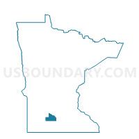
Cobden Voting District, Brown County, Minnesota
About
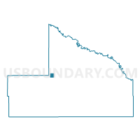
Outline

Summary
| Unique Area Identifier | 601299 |
| Name | Cobden Voting District |
| County | Brown County |
| State | Minnesota |
| Area (square miles) | 0.96 |
| Land Area (square miles) | 0.96 |
| Water Area (square miles) | 0.00 |
| % of Land Area | 100.00 |
| % of Water Area | 0.00 |
| Latitude of the Internal Point | 44.28252440 |
| Longtitude of the Internal Point | -94.84653100 |
Maps

Graphs
Select a template below for downloading or customizing gragh for Cobden Voting District, Brown County, Minnesota


Neighbors
Neighoring Voting District (by Name) Neighboring Voting District on the Map
- Leavenworth Twp. Voting District, Brown County, MN
- Prairieville Twp. Voting District, Brown County, MN
Top 10 Neighboring County Subdivision (by Population) Neighboring County Subdivision on the Map
- Leavenworth township, Brown County, MN (287)
- Prairieville township, Brown County, MN (255)
- Cobden city, Brown County, MN (36)